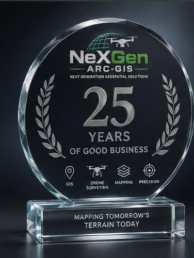


At NeXGen, we specialize in transforming how you perceive and interact with land. With cutting-edge technology and a dedicated team of professionals, we provide comprehensive GIS and drone surveying services tailored to meet your unique needs. Whether you’re a developer, an environmentalist, or a landowner, our innovative solutions empower you to make informed decisions with precision and confidence.
Explore the endless possibilities of mapping and surveying as we help you uncover the potential of your projects. From detailed topographic maps to aerial imagery, we are committed to delivering high-quality results that drive success and sustainability. Join us on this journey to better understand and visualize your land, where advanced technology meets expert insight.
We deliver exceptional results in everything we do, ensuring your satisfaction at every step.
Our experienced team brings skill and passion to every project, no matter the size.
Proven outcomes that speak for themselves and make a meaningful difference for your business.


At NeXGen, our vision is to revolutionize land surveying through innovation and sustainability. We aspire to be the leading provider of cutting-edge GIS and drone surveying solutions, empowering our clients with the tools and insights needed to make informed decisions about their land.
We envision a future where advanced technology seamlessly integrates with environmental stewardship, enabling communities to thrive while preserving the natural landscape. By harnessing the power of data and aerial imagery, we aim to create a world where every project is guided by precision, efficiency, and a commitment to sustainable practices.
Through collaboration and continuous improvement, we strive to elevate the standards of the surveying industry, ensuring that our clients not only meet their goals but also contribute positively to the world around them. Together, we can shape a better tomorrow, one survey at a time.
We pride ourselves on our extensive expertise in GIS and drone surveying, combining years of industry experience with the latest technological advancements. Our team of skilled professionals is equipped with a deep understanding of geographic information systems, aerial mapping, and data analysis, enabling us to deliver precise and actionable insights tailored to your specific needs.
We specialize in a wide range of services, including:
With a commitment to quality and innovation, we continuously seek to enhance our methodologies and expand our knowledge, ensuring that our clients benefit from the best practices in the industry. Trust [Your Company Name] to be your partner in navigating the complexities of land surveying and GIS, where expertise meets excellence.